 vesseltracker.com
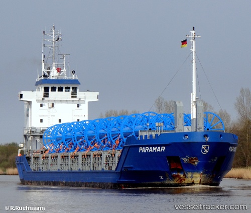
 FJORD
FJORD
Current Status
Where is the vessel?
FJORD is currently in 21 nm NW of Thorntonbank, based on AIS data received less than 1h ago.
Latest AIS update:
Current position: 51.77882° N, 2.40577° E (21 nm NW of Thorntonbank)
Average speed (last 7 days): Loading…
Average speed (last 30 days): Loading…
Vessel profile: FJORD is a General Cargo with dimensions m x m.
This page combines live AIS, route history, probable destination signals, nearby traffic, and port activity for practical vessel monitoring.
The current position of vessel FJORD is 51.77882 lat / 2.40577 lng. Updated: 2026-04-20 02:19:23 UTCNearest reference points:
- 21 nm S of Craven Arms
- 13 nm NW of Middelkerke
- Near Thorntonbank
Currently sailing under the flag of Antigua and Barbuda ![]()
Details:
Live Vessel FJORD Analytics (details, animations, etc.)
Recent AIS points (UTC):
2026-04-19 22:28:42 UTC · 52.27224, 3.08228 · SOG 11.5 kn · COG 215°2026-04-20 00:17:11 UTC · 52.00600, 2.75029 · SOG 10.5 kn · COG 222°
2026-04-20 01:33:31 UTC · 51.85657, 2.52464 · SOG 8.8 kn · COG 221°
2026-04-20 02:19:23 UTC · 51.77882, 2.40577 · SOG 8.1 kn · COG 221°