 vesseltracker.com
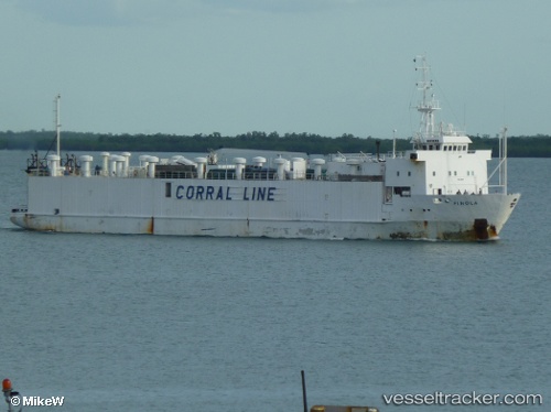
 FINOLA M
Current Status
Where is the vessel?
FINOLA M is currently in 37 nm N of RUMELI FENERI, based on AIS data received about 2h ago.
Latest AIS update:
Current position: 41.84096° N, 29.14350° E (37 nm N of RUMELI FENERI)
Average speed (last 7 days): Loading…
Average speed (last 30 days): Loading…
Vessel profile: FINOLA M is a Livestock Carrier with dimensions m x m.
This page combines live AIS, route history, probable destination signals, nearby traffic, and port activity for practical vessel monitoring.
The current position of vessel FINOLA M is 41.84096 lat / 29.14350 lng. Updated: 2026-03-31 17:02:20 UTCNearest reference points:
- 38 nm E of IGNEADA
- 45 nm N of RUMELI FENERI
- 19 nm NE of RUMELI FENERI
Currently sailing under the flag of Antigua and Barbuda ![]()
Details:
Live Vessel FINOLA M Analytics (details, animations, etc.)
Recent AIS points (UTC):
2026-03-31 11:23:18 UTC · 41.18285, 29.08719 · SOG 10.1 kn · COG 43°2026-03-31 13:38:11 UTC · 41.44532, 29.23544 · SOG 7.4 kn · COG 332°
2026-03-31 16:13:10 UTC · 41.74383, 29.15321 · SOG 7 kn · COG 356°
2026-03-31 17:02:20 UTC · 41.84096, 29.14350 · SOG 7.1 kn · COG 355°