 vesseltracker.com
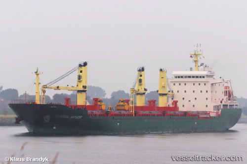
 HC JETTE MARIT
Current Status
Where is the vessel?
HC JETTE MARIT is currently in Near Varna, based on AIS data received about 2d ago.
Latest AIS update:
Current position: 43.19380° N, 27.90176° E (Near Varna)
Average speed (last 7 days): Loading…
Average speed (last 30 days): Loading…
Vessel profile: HC JETTE MARIT is a Bulk Carrier with dimensions 160m x 24m.
This page combines live AIS, route history, probable destination signals, nearby traffic, and port activity for practical vessel monitoring.
The current position of vessel HC JETTE MARIT is 43.19380 lat / 27.90176 lng. Updated: 2026-04-09 07:15:33 UTCNearest reference points:
- Near Varna
- Near Ignatievo
- Near Beloslav
Currently sailing under the flag of Antigua Barbuda ![]()
HC JETTE MARIT built in 2009 year
Deadweight:
22108 tDetails:
Live Vessel HC JETTE MARIT Analytics (details, animations, etc.)
Recent AIS points (UTC):
2026-04-09 06:09:02 UTC · 43.19390, 27.90176 · SOG 0 kn · COG -1°2026-04-09 07:15:33 UTC · 43.19380, 27.90176 · SOG 0 kn · COG -1°
2026-04-09 07:15:33 UTC · 43.19380, 27.90176 · SOG 0 kn · COG -1°
2026-04-09 07:15:33 UTC · 43.19380, 27.90176 · SOG 0 kn · COG -1°