 vesseltracker.com
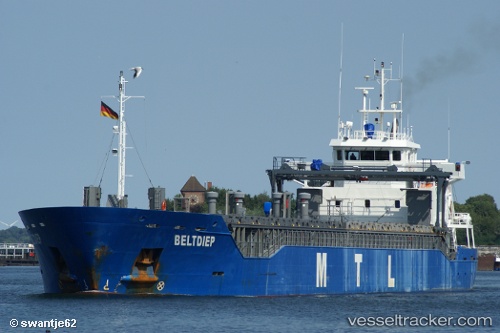
 KARILIIS
Current Status
Where is the vessel?
KARILIIS is currently in 24 nm NW of Kappelshamn, based on AIS data received less than 1h ago.
Latest AIS update:
Current position: 58.20646° N, 18.46718° E (24 nm NW of Kappelshamn)
Average speed (last 7 days): Loading…
Average speed (last 30 days): Loading…
Vessel profile: KARILIIS is a General Cargo with dimensions m x m.
This page combines live AIS, route history, probable destination signals, nearby traffic, and port activity for practical vessel monitoring.
The current position of vessel KARILIIS is 58.20646 lat / 18.46718 lng. Updated: 2026-04-23 03:29:08 UTCNearest reference points:
- Near Stora Vika
- Near Gustavsvik/Stockholm
- Near Bergs oljehamn
Currently sailing under the flag of Antigua and Barbuda ![]()
Details:
Live Vessel KARILIIS Analytics (details, animations, etc.)
Recent AIS points (UTC):
2026-04-23 00:14:19 UTC · 58.70847, 19.01983 · SOG 10.8 kn · COG 208°2026-04-23 01:09:49 UTC · 58.56514, 18.86157 · SOG 10.6 kn · COG 208°
2026-04-23 01:28:59 UTC · 58.51550, 18.80801 · SOG 10.6 kn · COG 208°
2026-04-23 03:29:08 UTC · 58.20646, 18.46718 · SOG 10.6 kn · COG 211°