 vesseltracker.com
 MARAS
MARAS
Current Status
Where is the vessel?
MARAS is currently in 52 nm S of Boboras, based on AIS data received about 1h ago.
Latest AIS update:
Current position: 45.60931° N, 7.76634° W (52 nm S of Boboras)
Average speed (last 7 days): Loading…
Average speed (last 30 days): Loading…
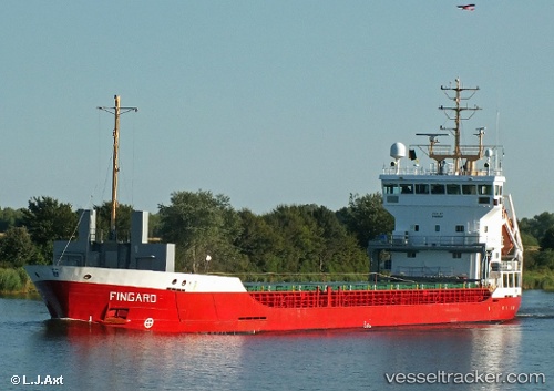
Vessel profile: MARAS is a General Cargo with dimensions m x m.
This page combines live AIS, route history, probable destination signals, nearby traffic, and port activity for practical vessel monitoring.
The current position of vessel MARAS is 45.60931 lat / -7.76634 lng. Updated: 2026-04-22 19:28:12 UTCNearest reference points:
- 57 nm S of Boboras
- 22 nm N of Carino
- 15 nm NW of CEDEIRA
Currently sailing under the flag of Antigua and Barbuda ![]()
Details:
Live Vessel MARAS Analytics (details, animations, etc.)
Recent AIS points (UTC):
2026-04-22 15:59:52 UTC · 45.22244, -8.17966 · SOG 7.3 kn · COG -1°2026-04-22 17:48:03 UTC · 45.40883, -7.99162 · SOG 7.9 kn · COG -1°
2026-04-22 19:18:11 UTC · 45.58429, -7.79636 · SOG 8.6 kn · COG -1°
2026-04-22 19:28:12 UTC · 45.60931, -7.76634 · SOG 9 kn · COG -1°