 vesseltracker.com
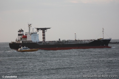
 NEXUS
NEXUS
Current Status
Where is the vessel?
NEXUS is currently in Near Mersin, based on AIS data received less than 1h ago.
Latest AIS update:
Current position: 36.73152° N, 34.71907° E (Near Mersin)
Average speed (last 7 days): Loading…
Average speed (last 30 days): Loading…
Vessel profile: NEXUS is a Oil Products Tanker with dimensions m x m.
This page combines live AIS, route history, probable destination signals, nearby traffic, and port activity for practical vessel monitoring.
The current position of vessel NEXUS is 36.73152 lat / 34.71907 lng. Updated: 2026-03-30 09:15:14 UTCNearest reference points:
- Near Mersin
- Near Mersin-Free Zone
- Near YUMURTALIC
Currently sailing under the flag of Antigua and Barbuda ![]()
Details:
Live Vessel NEXUS Analytics (details, animations, etc.)
Recent AIS points (UTC):
2026-03-30 03:38:17 UTC · 36.73139, 34.71855 · SOG 0.8 kn · COG 147°2026-03-30 06:21:15 UTC · 36.73153, 34.71880 · SOG 0.1 kn · COG 180°
2026-03-30 07:48:14 UTC · 36.73156, 34.71885 · SOG 0.2 kn · COG 179°
2026-03-30 09:15:14 UTC · 36.73152, 34.71907 · SOG 0.1 kn · COG 195°