 vesseltracker.com
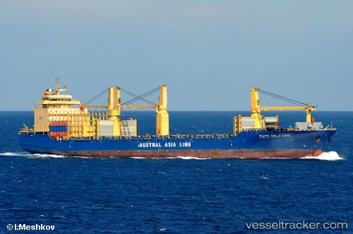
 Maria Francisca
Current Status
Where is the vessel?
Maria Francisca is currently in Near Guernsey, based on AIS data received less than 1h ago.
Latest AIS update:
Current position: 49.36243° N, 2.75511° W (Near Guernsey)
Average speed (last 7 days): Loading…
Average speed (last 30 days): Loading…
Vessel profile: Maria Francisca is a Multi Purpose Carrier with dimensions 192m x 192m.
This page combines live AIS, route history, probable destination signals, nearby traffic, and port activity for practical vessel monitoring.
The current position of vessel Maria Francisca is 49.36243 lat / -2.75511 lng. Updated: 2026-04-23 04:04:12 UTCNearest reference points:
- Near GUERNSEY
- Near Saint Sampson
- Near SAINT SAMPSON
Currently sailing under the flag of Antigua Barbuda ![]()
Maria Francisca built in 2004 year
Deadweight:
30343 tDetails:
Live Vessel Maria Francisca Analytics (details, animations, etc.)
Recent AIS points (UTC):
2026-04-22 22:50:22 UTC · 48.64374, -2.02233 · SOG 1.3 kn · COG 249°2026-04-22 23:24:53 UTC · 48.66100, -2.06897 · SOG 10.2 kn · COG 312°
2026-04-23 01:02:12 UTC · 48.89306, -2.33521 · SOG 11.3 kn · COG 339°
2026-04-23 04:04:12 UTC · 49.36243, -2.75511 · SOG 9.7 kn · COG 0°