 vesseltracker.com
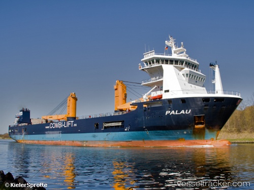
 IMKE
IMKE
Current Status
Where is the vessel?
IMKE is currently in Near Luanda, based on AIS data received less than 1h ago.
Latest AIS update:
Current position: 8.79054° S, 13.26711° E (Near Luanda)
Average speed (last 7 days): Loading…
Average speed (last 30 days): Loading…
Vessel profile: IMKE is a General Cargo Ship with dimensions 23m x 133m.
This page combines live AIS, route history, probable destination signals, nearby traffic, and port activity for practical vessel monitoring.
The current position of vessel IMKE is -8.79054 lat / 13.26711 lng. Updated: 2026-04-20 00:15:44 UTCNearest reference points:
- Near Luanda
- Near Greater Plutonio
Currently sailing under the flag of Antigua and Barbuda ![]()
IMKE built in 2010 year
Deadweight:
9962 tDetails:
Live Vessel IMKE Analytics (details, animations, etc.)
Recent AIS points (UTC):
2026-04-19 19:51:43 UTC · -8.79054, 13.26712 · SOG 0 kn · COG 228°2026-04-19 21:36:51 UTC · -8.79053, 13.26714 · SOG 0 kn · COG 228°
2026-04-19 22:30:51 UTC · -8.79054, 13.26718 · SOG 0 kn · COG 228°
2026-04-20 00:15:44 UTC · -8.79054, 13.26711 · SOG 0 kn · COG 228°