 vesseltracker.com
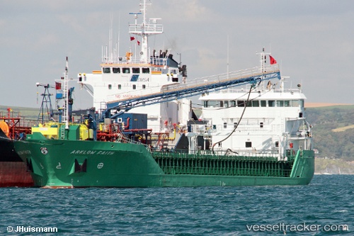
 NICOLA L
Current Status
Where is the vessel?
NICOLA L is currently in Near IJmuiden/Velsen, based on AIS data received less than 1h ago.
Latest AIS update:
Current position: 52.47325° N, 4.60611° E (Near IJmuiden/Velsen)
Average speed (last 7 days): Loading…
Average speed (last 30 days): Loading…
Vessel profile: NICOLA L is a General Cargo with dimensions m x m.
This page combines live AIS, route history, probable destination signals, nearby traffic, and port activity for practical vessel monitoring.
The current position of vessel NICOLA L is 52.47325 lat / 4.60611 lng. Updated: 2026-04-14 11:46:04 UTCNearest reference points:
- Near IJmuiden/Velsen
- Near Ijmuiden
- Near BEVERWIJK
Currently sailing under the flag of Antigua and Barbuda ![]()
Details:
Live Vessel NICOLA L Analytics (details, animations, etc.)
Recent AIS points (UTC):
2026-04-14 05:52:13 UTC · 52.47325, 4.60610 · SOG 0 kn · COG 284°2026-04-14 07:35:21 UTC · 52.47326, 4.60611 · SOG 0 kn · COG 284°
2026-04-14 10:08:19 UTC · 52.47325, 4.60611 · SOG 0 kn · COG 284°
2026-04-14 11:46:04 UTC · 52.47325, 4.60611 · SOG 0 kn · COG -1°