 vesseltracker.com
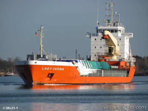
 MIA
MIA
Current Status
Where is the vessel?
MIA is currently in Near Portstewart, based on AIS data received less than 1h ago.
Latest AIS update:
Current position: 55.22887° N, 6.81646° W (Near Portstewart)
Average speed (last 7 days): Loading…
Average speed (last 30 days): Loading…
Vessel profile: MIA is a General Cargo with dimensions m x m.
This page combines live AIS, route history, probable destination signals, nearby traffic, and port activity for practical vessel monitoring.
The current position of vessel MIA is 55.22887 lat / -6.81646 lng. Updated: 2026-04-19 06:21:38 UTCNearest reference points:
- Near Belfast
- Near Southend
- Near Campbeltown
Currently sailing under the flag of Antigua and Barbuda ![]()
Details:
Live Vessel MIA Analytics (details, animations, etc.)
Recent AIS points (UTC):
2026-04-19 00:09:35 UTC · 55.22843, -6.81684 · SOG 0.5 kn · COG 298°2026-04-19 02:03:36 UTC · 55.22965, -6.81989 · SOG 0.1 kn · COG 145°
2026-04-19 03:45:37 UTC · 55.22951, -6.82042 · SOG 0.2 kn · COG 139°
2026-04-19 06:21:38 UTC · 55.22887, -6.81646 · SOG 0.9 kn · COG 268°