 vesseltracker.com
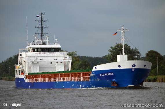
 KIRSI
KIRSI
Current Status
Where is the vessel?
KIRSI is currently in 48 nm NE of Milobadz, based on AIS data received about 1h ago.
Latest AIS update:
Current position: 55.76889° N, 19.63113° E (48 nm NE of Milobadz)
Average speed (last 7 days): Loading…
Average speed (last 30 days): Loading…
Vessel profile: KIRSI is a General Cargo with dimensions 104m x 16m.
This page combines live AIS, route history, probable destination signals, nearby traffic, and port activity for practical vessel monitoring.
The current position of vessel KIRSI is 55.76889 lat / 19.63113 lng. Updated: 2026-04-01 11:24:44 UTCNearest reference points:
- 39 nm W of Pilies juru uosto PVP/Klaipeda
- 10 nm NW of Svetlogorsk
- 17 nm W of Gusevka
Currently sailing under the flag of Antigua Barbuda ![]()
KIRSI built in 0 year
Deadweight:
0 tDetails:
Live Vessel KIRSI Analytics (details, animations, etc.)
Recent AIS points (UTC):
2026-04-01 05:21:45 UTC · 55.82077, 18.16420 · SOG 9.9 kn · COG 91°2026-04-01 07:52:54 UTC · 55.80080, 18.91275 · SOG 9.9 kn · COG 93°
2026-04-01 09:20:28 UTC · 55.79690, 18.99638 · SOG 9.8 kn · COG -1°
2026-04-01 11:24:44 UTC · 55.76889, 19.63113 · SOG 10 kn · COG -1°