 vesseltracker.com
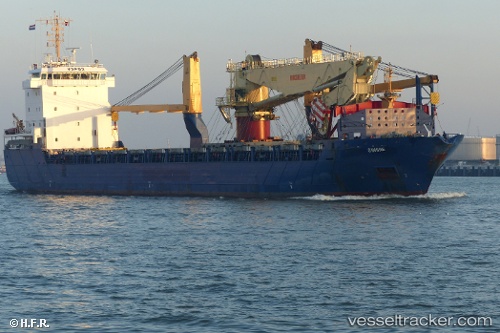
 JESPER
Current Status
Where is the vessel?
JESPER is currently in 47 nm N of Bundaberg, based on AIS data received about 1d ago.
Latest AIS update:
Current position: 23.97646° S, 152.41756° E (47 nm N of Bundaberg)
Average speed (last 7 days): Loading…
Average speed (last 30 days): Loading…
Vessel profile: JESPER is a General Cargo with dimensions m x m.
This page combines live AIS, route history, probable destination signals, nearby traffic, and port activity for practical vessel monitoring.
The current position of vessel JESPER is -23.97646 lat / 152.41756 lng. Updated: 2026-04-10 07:37:52 UTCNearest reference points:
- Near Bundaberg
- Near Boyne Island
- Near Gladstone Harbor
Currently sailing under the flag of Antigua and Barbuda ![]()
Details:
Live Vessel JESPER Analytics (details, animations, etc.)
Recent AIS points (UTC):
2026-04-10 02:35:11 UTC · -23.89052, 151.51033 · SOG 6.6 kn · COG 15°2026-04-10 03:33:11 UTC · -23.84188, 151.65167 · SOG 9.8 kn · COG 126°
2026-04-10 06:16:33 UTC · -23.95015, 152.14211 · SOG 10.9 kn · COG 97°
2026-04-10 07:37:52 UTC · -23.97646, 152.41756 · SOG 11.5 kn · COG 90°