 vesseltracker.com
 OPAL
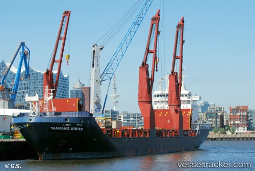
OPAL
Current Status
Where is the vessel?
OPAL is currently in 26 nm SW of Assaluyeh, based on AIS data received about 2h ago.
Latest AIS update:
Current position: 27.02829° N, 52.40985° E (26 nm SW of Assaluyeh)
Average speed (last 7 days): Loading…
Average speed (last 30 days): Loading…
Vessel profile: OPAL is a General Cargo with dimensions m x m.
This page combines live AIS, route history, probable destination signals, nearby traffic, and port activity for practical vessel monitoring.
The current position of vessel OPAL is 27.02829 lat / 52.40985 lng. Updated: 2026-04-15 00:28:11 UTCNearest reference points:
- Near ASALUYEH
- Near Sarooj Anchorage
- Near Dayyer
Currently sailing under the flag of Antigua and Barbuda ![]()
Details:
Live Vessel OPAL Analytics (details, animations, etc.)
Recent AIS points (UTC):
2026-04-14 19:40:27 UTC · 27.36744, 51.56031 · SOG 10.9 kn · COG 112°2026-04-14 20:08:47 UTC · 27.33186, 51.64798 · SOG 10.7 kn · COG 112°
2026-04-15 00:04:58 UTC · 27.04886, 52.34495 · SOG 9.7 kn · COG 108°
2026-04-15 00:28:11 UTC · 27.02829, 52.40985 · SOG 9.7 kn · COG -1°