 vesseltracker.com
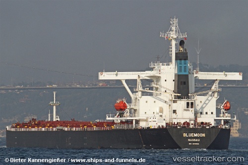
 CAPE DAO
Current Status
Where is the vessel?
CAPE DAO is currently in 158 nm W of Bolinao, based on AIS data received less than 1h ago.
Latest AIS update:
Current position: 17.20787° N, 117.27816° E (158 nm W of Bolinao)
Average speed (last 7 days): Loading…
Average speed (last 30 days): Loading…
Vessel profile: CAPE DAO is a Bulk Carrier with dimensions m x m.
This page combines live AIS, route history, probable destination signals, nearby traffic, and port activity for practical vessel monitoring.
The current position of vessel CAPE DAO is 17.20787 lat / 117.27816 lng. Updated: 2026-03-29 23:56:11 UTCNearest reference points:
- 138 nm NW of Bolinao
- 222 nm W of Iba
- 34 nm W of Iba
Currently sailing under the flag of Antigua and Barbuda ![]()
Details:
Live Vessel CAPE DAO Analytics (details, animations, etc.)
Recent AIS points (UTC):
2026-03-29 17:35:44 UTC · 16.43345, 116.65910 · SOG 9.9 kn · COG 34°2026-03-29 20:16:12 UTC · 16.76833, 116.92167 · SOG 9 kn · COG -1°
2026-03-29 20:55:20 UTC · 16.84833, 116.98167 · SOG 9 kn · COG -1°
2026-03-29 23:56:11 UTC · 17.20787, 117.27816 · SOG 9.6 kn · COG -1°