 vesseltracker.com
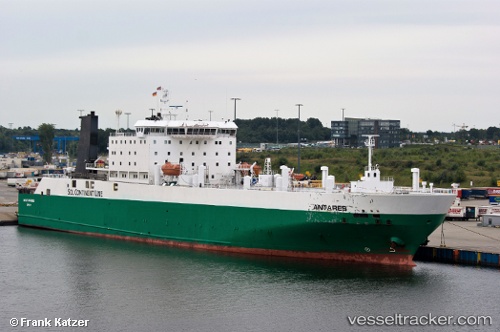
 CABO
CABO
Current Status
Where is the vessel?
CABO is currently in Near PERAMA, based on AIS data received about 11h ago.
Latest AIS update:
Current position: 37.95901° N, 23.55584° E (Near PERAMA)
Average speed (last 7 days): Loading…
Average speed (last 30 days): Loading…
Vessel profile: CABO is a Ro-Ro Cargo with dimensions m x m.
This page combines live AIS, route history, probable destination signals, nearby traffic, and port activity for practical vessel monitoring.
The current position of vessel CABO is 37.95901 lat / 23.55584 lng. Updated: 2026-03-31 13:06:29 UTCNearest reference points:
- Near PERAMA
- Near Keratsínion
- Near Drapetzona
Currently sailing under the flag of Antigua and Barbuda ![]()
Details:
Live Vessel CABO Analytics (details, animations, etc.)
Recent AIS points (UTC):
2026-03-31 11:23:30 UTC · 37.95894, 23.55585 · SOG 0 kn · COG 237°2026-03-31 13:06:29 UTC · 37.95901, 23.55584 · SOG 0 kn · COG -1°
2026-03-31 13:06:29 UTC · 37.95901, 23.55584 · SOG 0 kn · COG -1°
2026-03-31 13:06:29 UTC · 37.95901, 23.55584 · SOG 0 kn · COG -1°