 vesseltracker.com
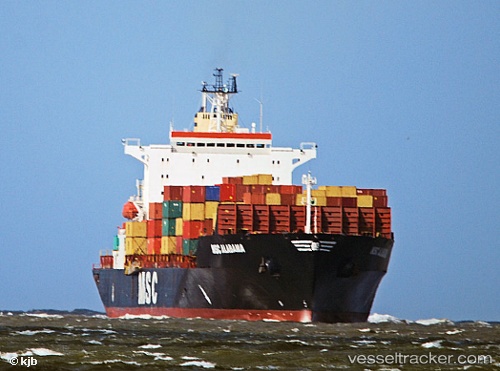
Pia
Current StatusWhere is the vessel?
Pia is currently in 105 nm E of Munshiganj, based on AIS data received about 1h ago.
Latest AIS update:
Current position: 23.85460° N, 88.66101° W (105 nm E of Munshiganj)
Average speed (last 7 days): Loading…
Average speed (last 30 days): Loading…
Vessel profile: Pia is a Heavy Load Carrier with dimensions 21m x 138m.
This page combines live AIS, route history, probable destination signals, nearby traffic, and port activity for practical vessel monitoring.
The current position of vessel Pia is 23.85460 lat / -88.66101 lng. Updated: 2026-04-02 22:09:39 UTCNearest reference points:
- 19 nm N of Progreso
Details:
Live Vessel Pia Analytics (details, animations, etc.)
Recent AIS points (UTC):
2026-04-02 15:56:48 UTC · 24.51921, -89.88266 · SOG 13.1 kn · COG 121°2026-04-02 17:59:19 UTC · 24.29561, -89.47424 · SOG 12.5 kn · COG 121°
2026-04-02 19:58:00 UTC · 24.08231, -89.08831 · SOG 12.4 kn · COG 124°
2026-04-02 22:09:39 UTC · 23.85460, -88.66101 · SOG 12 kn · COG 120°