 vesseltracker.com
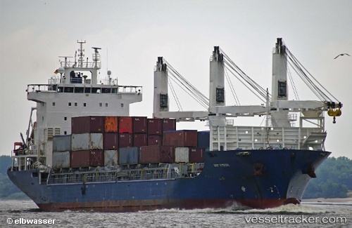
Vessel UML VERONICA IMO: 9500089, MMSI: 305128000 General Cargo Ship
UTC, 48.74833, -177.54832, course: -1, speed: 11
UTC, 48.87167, -177.00833, course: -1, speed: 10
2026-03-24 15:47:47 UTC, 48.99153, -176.44508, course: 79, speed: 10.7
Live Vessel UML VERONICA Analytics (details, animations, etc.)
Live AIS position: UTC. 172 nm S of Sweeper Cove), updated 2026-03-24 15:47:47 UTC.Find the position of the vessel UML VERONICA on the map. The latter are known coordinates and path.
marine traffic ship tracker show on live map
The current position of vessel UML VERONICA is 48.99153 lat / -176.44508 lng. Updated: 2026-03-24 15:47:47 UTCCurrently sailing under the flag of Antigua and Barbuda
UML VERONICA built in 2010 year
Deadweight:
12325 tDetails:
Last coordinates of the vessel:
UTC, 48.64333, -177.99500, course: -1, speed: 10UTC, 48.74833, -177.54832, course: -1, speed: 11
UTC, 48.87167, -177.00833, course: -1, speed: 10
2026-03-24 15:47:47 UTC, 48.99153, -176.44508, course: 79, speed: 10.7