 vesseltracker.com
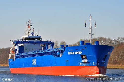
 KARITA
Current Status
Where is the vessel?
KARITA is currently in Near Saint Petersburg (ex Leningrad), based on AIS data received about 15h ago.
Latest AIS update:
Current position: 59.89330° N, 30.21203° E (Near Saint Petersburg (ex Leningrad))
Average speed (last 7 days): Loading…
Average speed (last 30 days): Loading…
Vessel profile: KARITA is a General Cargo with dimensions m x m.
This page combines live AIS, route history, probable destination signals, nearby traffic, and port activity for practical vessel monitoring.
The current position of vessel KARITA is 59.89330 lat / 30.21203 lng. Updated: 2026-04-10 07:44:56 UTCNearest reference points:
- Near Petrolsport
- Near Vassilevsky Ostrov/St Petersburg
- Near Sankt-Peterburg
Currently sailing under the flag of Antigua and Barbuda ![]()
Details:
Live Vessel KARITA Analytics (details, animations, etc.)
Recent AIS points (UTC):
2026-04-10 02:11:56 UTC · 59.89328, 30.21205 · SOG 0 kn · COG 32°2026-04-10 04:02:56 UTC · 59.89328, 30.21202 · SOG 0 kn · COG 32°
2026-04-10 05:32:57 UTC · 59.89330, 30.21207 · SOG 0 kn · COG 32°
2026-04-10 07:44:56 UTC · 59.89330, 30.21203 · SOG 0 kn · COG 32°