 vesseltracker.com
 OPTIMA
Current Status
Where is the vessel?
OPTIMA is currently in 50 nm NE of Craigellachie, based on AIS data received about 23h ago.
Latest AIS update:
Current position: 57.93261° N, 4.48193° E (50 nm NE of Craigellachie)
Average speed (last 7 days): Loading…
Average speed (last 30 days): Loading…
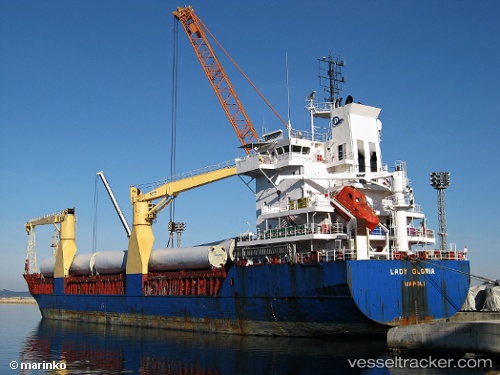
Vessel profile: OPTIMA is a General Cargo Ship with dimensions 108m x 18m.
This page combines live AIS, route history, probable destination signals, nearby traffic, and port activity for practical vessel monitoring.
The current position of vessel OPTIMA is 57.93261 lat / 4.48193 lng. Updated: 2026-04-10 07:24:39 UTCNearest reference points:
- Near Lura
- Near Egersund
- Near HUSOYA
Currently sailing under the flag of Antigua and Barbuda ![]()
OPTIMA built in 2000 year
Deadweight:
8151 tDetails:
Live Vessel OPTIMA Analytics (details, animations, etc.)
Recent AIS points (UTC):
2026-04-09 20:35:41 UTC · 58.31362, 1.46737 · SOG 8.8 kn · COG 117°2026-04-10 03:47:56 UTC · 58.03469, 3.44742 · SOG 8.6 kn · COG 98°
2026-04-10 05:57:56 UTC · 57.96932, 4.06867 · SOG 9.5 kn · COG 98°
2026-04-10 07:24:39 UTC · 57.93261, 4.48193 · SOG 8.8 kn · COG 97°