 vesseltracker.com
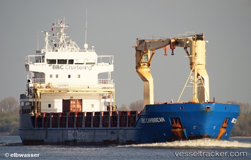
 KIMBERLY
Current Status
Where is the vessel?
KIMBERLY is currently in 16 nm NW of Vitte (Hiddensee), based on AIS data received less than 1h ago.
Latest AIS update:
Current position: 54.75443° N, 12.78806° E (16 nm NW of Vitte (Hiddensee))
Average speed (last 7 days): Loading…
Average speed (last 30 days): Loading…
Vessel profile: KIMBERLY is a Multi Purpose Carrier with dimensions 116m x 16m.
This page combines live AIS, route history, probable destination signals, nearby traffic, and port activity for practical vessel monitoring.
The current position of vessel KIMBERLY is 54.75443 lat / 12.78806 lng. Updated: 2026-04-09 01:33:01 UTCNearest reference points:
- Near Pruchten
- Near Schmedshagen
- Near Stralsund
Currently sailing under the flag of Antigua Barbuda ![]()
KIMBERLY built in 0 year
Deadweight:
0 tDetails:
Live Vessel KIMBERLY Analytics (details, animations, etc.)
Recent AIS points (UTC):
2026-04-08 17:41:02 UTC · 54.57547, 10.81022 · SOG 10.3 kn · COG 81°2026-04-08 19:21:51 UTC · 54.55579, 11.28220 · SOG 9.7 kn · COG 116°
2026-04-08 23:37:48 UTC · 54.56659, 12.30806 · SOG 10.9 kn · COG 21°
2026-04-09 01:33:01 UTC · 54.75443, 12.78806 · SOG 10.3 kn · COG 74°