 vesseltracker.com
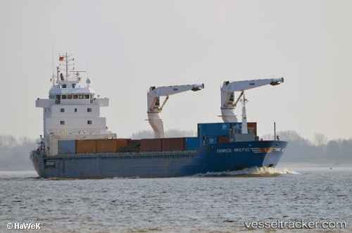
Vessel Bbc Newcastle IMO: 9484209, MMSI: 305367000 Multi Purpose Carrier
UTC, 22.40927, -86.11752, course: 303, speed: 13.9
UTC, 22.40927, -86.11752, course: 303, speed: 13.9
2026-01-18 01:18:04 UTC, 22.55319, -86.32140, course: 303, speed: 14.2
Live AIS position:
UTC. 82 nm N of ISLA MUJERES),
updated 2026-01-18 01:18:04 UTC.
Find the position of the vessel Bbc Newcastle on the map. The latter are known coordinates and path.
marine traffic ship tracker show on live map
The current position of vessel Bbc Newcastle is 22.55319 lat / -86.32140 lng. Updated: 2026-01-18 01:18:04 UTCCurrently sailing under the flag of Antigua Barbuda
Bbc Newcastle built in 2009 year
Deadweight:
9775 tDetails:
Last coordinates of the vessel:
UTC, 22.35249, -86.05585, course: 303, speed: 14UTC, 22.40927, -86.11752, course: 303, speed: 13.9
UTC, 22.40927, -86.11752, course: 303, speed: 13.9
2026-01-18 01:18:04 UTC, 22.55319, -86.32140, course: 303, speed: 14.2