 vesseltracker.com
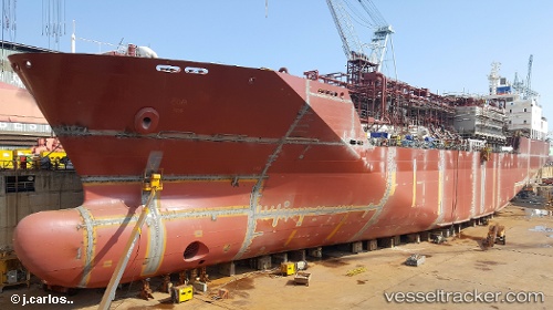
 Mygas
Mygas
Current Status
Where is the vessel?
Mygas is currently in 136 nm W of Eureka Springs, based on AIS data received less than 1h ago.
Latest AIS update:
Current position: 35.71833° N, 42.40833° W (136 nm W of Eureka Springs)
Average speed (last 7 days): Loading…
Average speed (last 30 days): Loading…
Vessel profile: Mygas is a Lpg Tanker with dimensions 146m x 22m.
This page combines live AIS, route history, probable destination signals, nearby traffic, and port activity for practical vessel monitoring.
The current position of vessel Mygas is 35.71833 lat / -42.40833 lng. Updated: 2026-04-19 03:20:33 UTCNearest reference points:
- 47 nm W of Eureka Springs
Currently sailing under the flag of Antigua Barbuda ![]()
Details:
Live Vessel Mygas Analytics (details, animations, etc.)
Recent AIS points (UTC):
2026-04-18 22:02:33 UTC · 35.41167, -43.49167 · SOG 10 kn · COG -1°2026-04-18 23:39:41 UTC · 35.50832, -43.16071 · SOG 10.3 kn · COG 66°
2026-04-19 01:26:32 UTC · 35.60500, -42.79333 · SOG 10 kn · COG -1°
2026-04-19 03:20:33 UTC · 35.71833, -42.40833 · SOG 10 kn · COG -1°