 vesseltracker.com
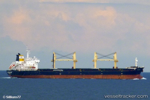
 AK KHAIRA
Current Status
Where is the vessel?
AK KHAIRA is currently in Near Dakar, based on AIS data received less than 1h ago.
Latest AIS update:
Current position: 14.63167° N, 17.35833° W (Near Dakar)
Average speed (last 7 days): Loading…
Average speed (last 30 days): Loading…
Vessel profile: AK KHAIRA is a Bulk Carrier with dimensions m x m.
This page combines live AIS, route history, probable destination signals, nearby traffic, and port activity for practical vessel monitoring.
The current position of vessel AK KHAIRA is 14.63167 lat / -17.35833 lng. Updated: 2026-04-23 04:04:52 UTCNearest reference points:
- Near Rufisque
- Near Dakar
- Near Banjul
Currently sailing under the flag of Antigua and Barbuda ![]()
Details:
Live Vessel AK KHAIRA Analytics (details, animations, etc.)
Recent AIS points (UTC):
2026-04-22 22:49:52 UTC · 14.63167, -17.35833 · SOG 0 kn · COG -1°2026-04-22 23:21:35 UTC · 14.63242, -17.35982 · SOG 0.1 kn · COG 350°
2026-04-23 01:03:33 UTC · 14.63244, -17.35997 · SOG 0.2 kn · COG 357°
2026-04-23 04:04:52 UTC · 14.63167, -17.35833 · SOG 0 kn · COG -1°