 vesseltracker.com
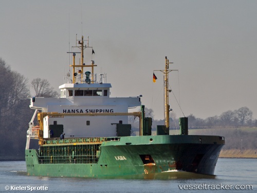
 KAISA
KAISA
Current Status
Where is the vessel?
KAISA is currently in 18 nm W of ROENNE, based on AIS data received less than 1h ago.
Latest AIS update:
Current position: 55.04019° N, 14.18268° E (18 nm W of ROENNE)
Average speed (last 7 days): Loading…
Average speed (last 30 days): Loading…
Vessel profile: KAISA is a General Cargo with dimensions m x m.
This page combines live AIS, route history, probable destination signals, nearby traffic, and port activity for practical vessel monitoring.
The current position of vessel KAISA is 55.04019 lat / 14.18268 lng. Updated: 2026-04-10 03:46:23 UTCNearest reference points:
- Near TEJN
- Near Baabe (Ostseebad)
- Near SASSNITZ
Currently sailing under the flag of Antigua and Barbuda ![]()
Details:
Live Vessel KAISA Analytics (details, animations, etc.)
Recent AIS points (UTC):
2026-04-09 22:00:56 UTC · 54.65585, 12.70337 · SOG 10 kn · COG 56°2026-04-10 00:18:47 UTC · 54.85223, 13.23443 · SOG 9.8 kn · COG 71°
2026-04-10 02:23:55 UTC · 54.94989, 13.80310 · SOG 10 kn · COG 71°
2026-04-10 03:46:23 UTC · 55.04019, 14.18268 · SOG 11.1 kn · COG -1°