 vesseltracker.com
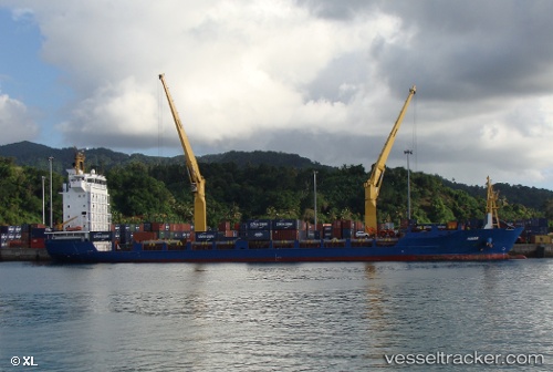
 Kiara
Kiara
Current Status
Where is the vessel?
Kiara is currently in 126 nm E of Tamatave, based on AIS data received less than 1h ago.
Latest AIS update:
Current position: 18.62437° S, 51.57044° E (126 nm E of Tamatave)
Average speed (last 7 days): Loading…
Average speed (last 30 days): Loading…
Vessel profile: Kiara is a Multi Purpose Carrier with dimensions 123m x 21m.
This page combines live AIS, route history, probable destination signals, nearby traffic, and port activity for practical vessel monitoring.
The current position of vessel Kiara is -18.62437 lat / 51.57044 lng. Updated: 2026-04-02 06:08:52 UTCNearest reference points:
- 183 nm E of Tamatave
Currently sailing under the flag of Antigua Barbuda ![]()
Details:
Live Vessel Kiara Analytics (details, animations, etc.)
Recent AIS points (UTC):
2026-04-01 23:46:38 UTC · -18.95558, 52.89312 · SOG 12.6 kn · COG 283°2026-04-02 01:32:11 UTC · -18.86641, 52.51709 · SOG 12.5 kn · COG 283°
2026-04-02 04:07:02 UTC · -18.73742, 51.98336 · SOG 11.8 kn · COG 287°
2026-04-02 06:08:52 UTC · -18.62437, 51.57044 · SOG 12.4 kn · COG 286°