 vesseltracker.com
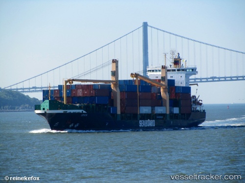
 SCARLETTA
Current Status
Where is the vessel?
SCARLETTA is currently in 13 nm E of Il-Kappara, based on AIS data received less than 1h ago.
Latest AIS update:
Current position: 35.85347° N, 14.83876° E (13 nm E of Il-Kappara)
Average speed (last 7 days): Loading…
Average speed (last 30 days): Loading…
Vessel profile: SCARLETTA is a Container Ship with dimensions m x m.
This page combines live AIS, route history, probable destination signals, nearby traffic, and port activity for practical vessel monitoring.
The current position of vessel SCARLETTA is 35.85347 lat / 14.83876 lng. Updated: 2026-04-20 05:59:51 UTCNearest reference points:
- 13 nm E of Il-Kappara
- 18 nm E of Il-Kappara
- Near Xghajra
Currently sailing under the flag of Antigua and Barbuda ![]()
Details:
Live Vessel SCARLETTA Analytics (details, animations, etc.)
Recent AIS points (UTC):
2026-04-20 02:17:52 UTC · 35.85533, 14.83947 · SOG 0.1 kn · COG 161°2026-04-20 03:41:49 UTC · 35.85532, 14.83920 · SOG 0 kn · COG 155°
2026-04-20 04:35:50 UTC · 35.85366, 14.83903 · SOG 0.1 kn · COG 53°
2026-04-20 05:59:51 UTC · 35.85347, 14.83876 · SOG 0 kn · COG 46°