 vesseltracker.com
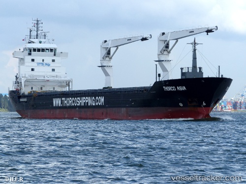
Bbc Nyhavn
Current StatusWhere is the vessel?
Bbc Nyhavn is currently in Near Port-Cartier, based on AIS data received less than 1h ago.
Latest AIS update:
Current position: 50.03169° N, 66.78545° W (Near Port-Cartier)
Average speed (last 7 days): Loading…
Average speed (last 30 days): Loading…
Vessel profile: Bbc Nyhavn is a Multi Purpose Carrier with dimensions 16m x 132m.
This page combines live AIS, route history, probable destination signals, nearby traffic, and port activity for practical vessel monitoring.
The current position of vessel Bbc Nyhavn is 50.03169 lat / -66.78545 lng. Updated: 2026-04-02 23:21:37 UTCNearest reference points:
- 22 nm N of Sainte-Anne-des-Monts
- 15 nm NW of Saint-Anaclet
Details:
Live Vessel Bbc Nyhavn Analytics (details, animations, etc.)
Recent AIS points (UTC):
2026-04-02 18:10:25 UTC · 50.03167, -66.78541 · SOG 0 kn · COG -1°2026-04-02 19:33:47 UTC · 50.03170, -66.78546 · SOG 0 kn · COG 256°
2026-04-02 21:25:00 UTC · 50.03174, -66.78547 · SOG 0 kn · COG -1°
2026-04-02 23:21:37 UTC · 50.03169, -66.78545 · SOG 0 kn · COG 255°