 vesseltracker.com
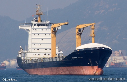
 NOAH
NOAH
Current Status
Where is the vessel?
NOAH is currently in 17 nm SW of Oranjestad, based on AIS data received about 1h ago.
Latest AIS update:
Current position: 12.35463° N, 70.27353° W (17 nm SW of Oranjestad)
Average speed (last 7 days): Loading…
Average speed (last 30 days): Loading…
Vessel profile: NOAH is a Cargo/Container Ship with dimensions m x m.
This page combines live AIS, route history, probable destination signals, nearby traffic, and port activity for practical vessel monitoring.
The current position of vessel NOAH is 12.35463 lat / -70.27353 lng. Updated: 2026-04-16 11:25:31 UTCNearest reference points:
- 24 nm NW of Palm Beach
- Near Las Piedras
- Near Bullenbaai
Currently sailing under the flag of Antigua and Barbuda ![]()
Details:
Live Vessel NOAH Analytics (details, animations, etc.)
Recent AIS points (UTC):
2026-04-16 06:01:26 UTC · 12.35407, -70.27362 · SOG 0.3 kn · COG 79°2026-04-16 07:58:27 UTC · 12.35417, -70.27357 · SOG 0.1 kn · COG 84°
2026-04-16 10:16:32 UTC · 12.35443, -70.27355 · SOG 0.3 kn · COG 94°
2026-04-16 11:25:31 UTC · 12.35463, -70.27353 · SOG 0 kn · COG 96°