 vesseltracker.com
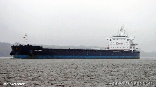
 Pabur
Pabur
Current Status
Where is the vessel?
Pabur is currently in 288 nm SE of Richards Bay, based on AIS data received about 2h ago.
Latest AIS update:
Current position: 31.61603° S, 36.67015° E (288 nm SE of Richards Bay)
Average speed (last 7 days): Loading…
Average speed (last 30 days): Loading…
Vessel profile: Pabur is a Bulk Carrier with dimensions 225m x 32m.
This page combines live AIS, route history, probable destination signals, nearby traffic, and port activity for practical vessel monitoring.
The current position of vessel Pabur is -31.61603 lat / 36.67015 lng. Updated: 2026-04-09 06:10:00 UTCNearest reference points:
- Open sea, approx. 401 nm off the nearest listed port
- Open sea, approx. 400 nm off the nearest listed port
- Open sea, approx. 402 nm off the nearest listed port
Currently sailing under the flag of Antigua Barbuda ![]()
Pabur built in 2012 year
Deadweight:
75426 tDetails:
Live Vessel Pabur Analytics (details, animations, etc.)
Recent AIS points (UTC):
2026-04-08 16:00:51 UTC · -32.44583, 34.32832 · SOG 7.8 kn · COG 69°2026-04-09 01:49:10 UTC · -31.96118, 35.80600 · SOG 9.6 kn · COG 60°
2026-04-09 04:13:55 UTC · -31.78833, 36.26833 · SOG 11 kn · COG -1°
2026-04-09 06:10:00 UTC · -31.61603, 36.67015 · SOG 11 kn · COG 65°