 vesseltracker.com
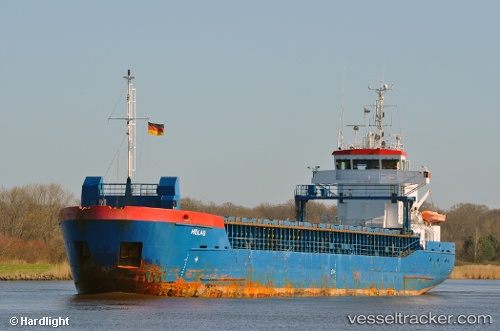
 SVEALAND
Current Status
Where is the vessel?
SVEALAND is currently in 22 nm S of Licata, based on AIS data received less than 1h ago.
Latest AIS update:
Current position: 36.73270° N, 13.84808° E (22 nm S of Licata)
Average speed (last 7 days): Loading…
Average speed (last 30 days): Loading…
Vessel profile: SVEALAND is a General Cargo with dimensions m x m.
This page combines live AIS, route history, probable destination signals, nearby traffic, and port activity for practical vessel monitoring.
The current position of vessel SVEALAND is 36.73270 lat / 13.84808 lng. Updated: 2026-04-19 07:36:23 UTCNearest reference points:
- Near Licata
- Near Gela
- Near Scoglitti
Currently sailing under the flag of Antigua and Barbuda ![]()
Details:
Live Vessel SVEALAND Analytics (details, animations, etc.)
Recent AIS points (UTC):
2026-04-19 01:23:43 UTC · 37.10768, 12.70270 · SOG 9.7 kn · COG 109°2026-04-19 04:03:44 UTC · 36.94347, 13.19779 · SOG 9.3 kn · COG 113°
2026-04-19 05:35:44 UTC · 36.85165, 13.48012 · SOG 9.4 kn · COG 115°
2026-04-19 07:36:23 UTC · 36.73270, 13.84808 · SOG 9.4 kn · COG 116°