 vesseltracker.com
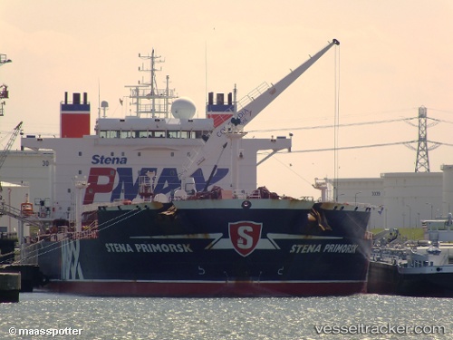
 FANTA
FANTA
Current Status
Where is the vessel?
FANTA is currently in 93 nm W of Georgetown, Grand Cayman, based on AIS data received less than 1h ago.
Latest AIS update:
Current position: 19.78874° N, 82.94820° W (93 nm W of Georgetown, Grand Cayman)
Average speed (last 7 days): Loading…
Average speed (last 30 days): Loading…
Vessel profile: FANTA is a Oil Products Tanker with dimensions 183m x 182m.
This page combines live AIS, route history, probable destination signals, nearby traffic, and port activity for practical vessel monitoring.
The current position of vessel FANTA is 19.78874 lat / -82.94820 lng. Updated: 2026-04-13 16:03:20 UTCNearest reference points:
- Near Georgetown, Grand Cayman
- 58 nm S of San Julian
Currently sailing under the flag of Antigua Barbuda ![]()
FANTA built in 2006 year
Deadweight:
65125 tDetails:
Live Vessel FANTA Analytics (details, animations, etc.)
Recent AIS points (UTC):
2026-04-13 10:07:16 UTC · 19.81867, -82.68912 · SOG 2.5 kn · COG 263°2026-04-13 11:41:49 UTC · 19.81073, -82.75790 · SOG 2.5 kn · COG 263°
2026-04-13 14:14:18 UTC · 19.79791, -82.86888 · SOG 2.5 kn · COG 263°
2026-04-13 16:03:20 UTC · 19.78874, -82.94820 · SOG 2.5 kn · COG 263°