 vesseltracker.com
 JAYA
JAYA
Current Status
Where is the vessel?
JAYA is currently in 113 nm S of Port Blair, based on AIS data received about 9h ago.
Latest AIS update:
Current position: 9.80353° N, 92.50669° E (113 nm S of Port Blair)
Average speed (last 7 days): Loading…
Average speed (last 30 days): Loading…
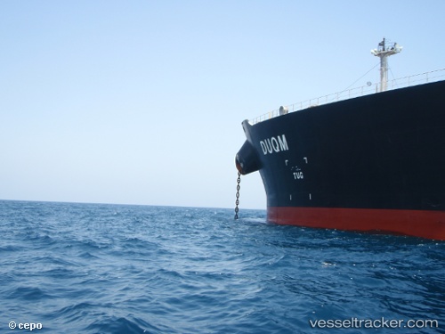
Vessel profile: JAYA is a Crude Oil Tanker with dimensions m x m.
This page combines live AIS, route history, probable destination signals, nearby traffic, and port activity for practical vessel monitoring.
The current position of vessel JAYA is 9.80353 lat / 92.50669 lng. Updated: 2026-04-18 20:40:16 UTCNearest reference points:
- Near Port Blair
- 120 nm W of Port Blair
Currently sailing under the flag of Curacao ![]()
Details:
Live Vessel JAYA Analytics (details, animations, etc.)
Recent AIS points (UTC):
2026-04-18 14:25:58 UTC · 10.52844, 91.72698 · SOG 11.3 kn · COG -1°2026-04-18 20:40:16 UTC · 9.80353, 92.50669 · SOG 10.3 kn · COG 106°
2026-04-18 20:40:16 UTC · 9.80353, 92.50669 · SOG 10.3 kn · COG 106°
2026-04-18 20:40:16 UTC · 9.80353, 92.50669 · SOG 10.3 kn · COG 106°