 vesseltracker.com
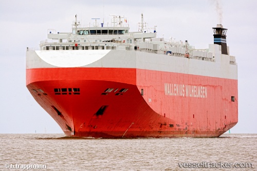
 Taipan
Current Status
Where is the vessel?
Taipan is currently in 301 nm E of Richards Bay, based on AIS data received about 1h ago.
Latest AIS update:
Current position: 30.34709° S, 37.63739° E (301 nm E of Richards Bay)
Average speed (last 7 days): Loading…
Average speed (last 30 days): Loading…
Vessel profile: Taipan is a Vehicles Carrier with dimensions 200m x 32m.
This page combines live AIS, route history, probable destination signals, nearby traffic, and port activity for practical vessel monitoring.
The current position of vessel Taipan is -30.34709 lat / 37.63739 lng. Updated: 2026-03-31 05:38:37 UTCNearest reference points:
- 358 nm E of Richards Bay
- Open sea, approx. 400 nm off the nearest listed port
- Open sea, approx. 402 nm off the nearest listed port
Currently sailing under the flag of Bahamas ![]()
Taipan built in 2006 year
Deadweight:
21021 tDetails:
Live Vessel Taipan Analytics (details, animations, etc.)
Recent AIS points (UTC):
2026-03-30 23:36:08 UTC · -29.76287, 39.26608 · SOG 14.8 kn · COG 242°2026-03-31 02:29:37 UTC · -30.04888, 38.49137 · SOG 15.4 kn · COG 246°
2026-03-31 03:28:38 UTC · -30.14455, 38.22664 · SOG 15.3 kn · COG 249°
2026-03-31 05:38:37 UTC · -30.34709, 37.63739 · SOG 15.1 kn · COG 251°