 vesseltracker.com
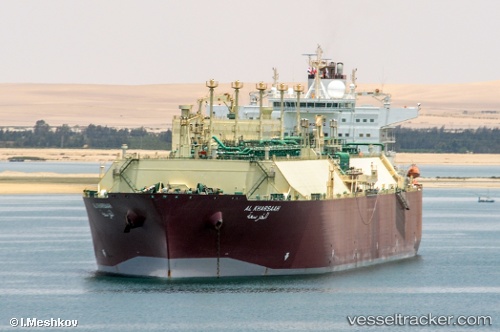
 Al Kharsaah
Current Status
Where is the vessel?
Al Kharsaah is currently in Near Milford Haven, based on AIS data received about 2h ago.
Latest AIS update:
Current position: 51.69775° N, 5.07900° W (Near Milford Haven)
Average speed (last 7 days): Loading…
Average speed (last 30 days): Loading…
Vessel profile: Al Kharsaah is a Lng Tanker with dimensions 315m x 50m.
This page combines live AIS, route history, probable destination signals, nearby traffic, and port activity for practical vessel monitoring.
The current position of vessel Al Kharsaah is 51.69775 lat / -5.07900 lng. Updated: 2026-03-27 23:49:00 UTCNearest reference points:
- Near Black Pill
- Near Landore
- 10 nm NW of Grampound
Currently sailing under the flag of Bahamas ![]()
Al Kharsaah built in 2008 year
Deadweight:
109484 tDetails:
Live Vessel Al Kharsaah Analytics (details, animations, etc.)
Recent AIS points (UTC):
2026-03-27 18:01:00 UTC · 51.69774, -5.07898 · SOG 0 kn · COG 96°2026-03-27 20:03:57 UTC · 51.69771, -5.07895 · SOG 0 kn · COG 96°
2026-03-27 22:00:55 UTC · 51.69774, -5.07902 · SOG 0 kn · COG 96°
2026-03-27 23:49:00 UTC · 51.69775, -5.07900 · SOG 0 kn · COG 96°