 vesseltracker.com
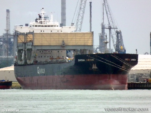
 Grebe Arrow
Current Status
Where is the vessel?
Grebe Arrow is currently in 27 nm S of Akaroa, based on AIS data received about 1h ago.
Latest AIS update:
Current position: 44.24413° S, 172.82173° E (27 nm S of Akaroa)
Average speed (last 7 days): Loading…
Average speed (last 30 days): Loading…
Vessel profile: Grebe Arrow is a Multi Purpose Carrier with dimensions 200m x 32m.
This page combines live AIS, route history, probable destination signals, nearby traffic, and port activity for practical vessel monitoring.
The current position of vessel Grebe Arrow is -44.24413 lat / 172.82173 lng. Updated: 2026-04-17 23:25:36 UTCNearest reference points:
- Near Timaru
Currently sailing under the flag of Bahamas ![]()
Grebe Arrow built in 1997 year
Deadweight:
55671 tDetails:
Live Vessel Grebe Arrow Analytics (details, animations, etc.)
Recent AIS points (UTC):
2026-04-17 18:06:27 UTC · -45.05328, 171.92796 · SOG 11.9 kn · COG 39°2026-04-17 20:11:56 UTC · -44.73838, 172.30037 · SOG 11.7 kn · COG 49°
2026-04-17 22:02:46 UTC · -44.45578, 172.60667 · SOG 11.2 kn · COG 35°
2026-04-17 23:25:36 UTC · -44.24413, 172.82173 · SOG 11.3 kn · COG 38°