 vesseltracker.com
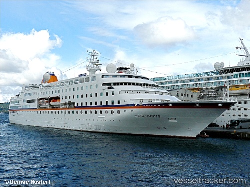
 MV HAMBURG
Current Status
Where is the vessel?
MV HAMBURG is currently in 65 nm S of Nedroma, based on AIS data received less than 1h ago.
Latest AIS update:
Current position: 33.92489° N, 14.81196° W (65 nm S of Nedroma)
Average speed (last 7 days): Loading…
Average speed (last 30 days): Loading…
Vessel profile: MV HAMBURG is a Cruise Ship with dimensions 144m x 22m.
This page combines live AIS, route history, probable destination signals, nearby traffic, and port activity for practical vessel monitoring.
The current position of vessel MV HAMBURG is 33.92489 lat / -14.81196 lng. Updated: 2026-04-10 02:37:36 UTCNearest reference points:
- 109 nm E of Porto Santo Island
- 104 nm W of Jarjis
- 78 nm W of Nedroma
Currently sailing under the flag of Bahamas ![]()
MV HAMBURG built in 1997 year
Deadweight:
1378 tDetails:
Live Vessel MV HAMBURG Analytics (details, animations, etc.)
Recent AIS points (UTC):
2026-04-09 19:22:35 UTC · 32.97388, -16.24465 · SOG 13.2 kn · COG 51°2026-04-09 21:27:05 UTC · 33.23371, -15.82404 · SOG 12.4 kn · COG 46°
2026-04-10 00:24:25 UTC · 33.63022, -15.24888 · SOG 12.9 kn · COG 48°
2026-04-10 02:37:36 UTC · 33.92489, -14.81196 · SOG 12.7 kn · COG 48°