 vesseltracker.com
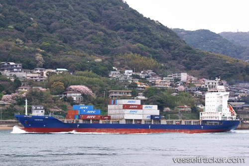
 Harrier
Current Status
Where is the vessel?
Harrier is currently in 65 nm W of Ulju-gun/Ulsan, based on AIS data received about 1h ago.
Latest AIS update:
Current position: 32.92153° N, 128.09155° E (65 nm W of Ulju-gun/Ulsan)
Average speed (last 7 days): Loading…
Average speed (last 30 days): Loading…
Vessel profile: Harrier is a Container Ship with dimensions 148m x 23m.
This page combines live AIS, route history, probable destination signals, nearby traffic, and port activity for practical vessel monitoring.
The current position of vessel Harrier is 32.92153 lat / 128.09155 lng. Updated: 2026-04-19 19:28:47 UTCNearest reference points:
- 63 nm SE of Seogwipo
- 10 nm E of Seongsan-po
- 35 nm E of Geomundo
Currently sailing under the flag of Bahamas ![]()
Details:
Live Vessel Harrier Analytics (details, animations, etc.)
Recent AIS points (UTC):
2026-04-19 16:08:29 UTC · 33.36282, 129.05614 · SOG 16 kn · COG -1°2026-04-19 17:38:37 UTC · 33.16173, 128.62828 · SOG 17 kn · COG -1°
2026-04-19 18:33:42 UTC · 33.03813, 128.35782 · SOG 16.6 kn · COG -1°
2026-04-19 19:28:47 UTC · 32.92153, 128.09155 · SOG 16.1 kn · COG -1°