 vesseltracker.com
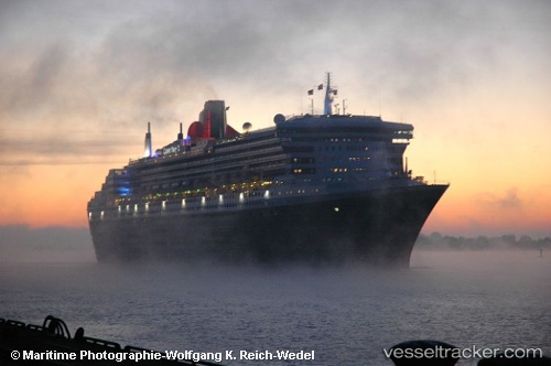
 Rms Queen Mary 2
Current Status
Where is the vessel?
Rms Queen Mary 2 is currently in 23 nm S of Dakar, based on AIS data received about 1h ago.
Latest AIS update:
Current position: 14.31072° N, 17.37927° W (23 nm S of Dakar)
Average speed (last 7 days): Loading…
Average speed (last 30 days): Loading…
Vessel profile: Rms Queen Mary 2 is a Cruise Ship with dimensions 345m x 41m.
This page combines live AIS, route history, probable destination signals, nearby traffic, and port activity for practical vessel monitoring.
The current position of vessel Rms Queen Mary 2 is 14.31072 lat / -17.37927 lng. Updated: 2026-04-22 04:59:11 UTCNearest reference points:
- Near Rufisque
- Near Dakar
- Near Banjul
Currently sailing under the flag of Bermuda ![]()
Rms Queen Mary 2 built in 2003 year
Deadweight:
19189 tDetails:
Live Vessel Rms Queen Mary 2 Analytics (details, animations, etc.)
Recent AIS points (UTC):
2026-04-22 01:56:17 UTC · 13.24239, -17.37398 · SOG 21.2 kn · COG 0°2026-04-22 02:43:23 UTC · 13.52136, -17.37457 · SOG 21 kn · COG 1°
2026-04-22 04:03:18 UTC · 13.98073, -17.35016 · SOG 21.1 kn · COG 355°
2026-04-22 04:59:11 UTC · 14.31072, -17.37927 · SOG 21.4 kn · COG 358°