 vesseltracker.com
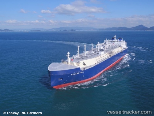
 Eduard Toll
Current Status
Where is the vessel?
Eduard Toll is currently in 48 nm NW of Straumsjøen, based on AIS data received about 1h ago.
Latest AIS update:
Current position: 69.00530° N, 12.40041° E (48 nm NW of Straumsjøen)
Average speed (last 7 days): Loading…
Average speed (last 30 days): Loading…
Vessel profile: Eduard Toll is a Lng Tanker with dimensions 299m x 299m.
This page combines live AIS, route history, probable destination signals, nearby traffic, and port activity for practical vessel monitoring.
The current position of vessel Eduard Toll is 69.00530 lat / 12.40041 lng. Updated: 2026-04-17 05:24:59 UTCNearest reference points:
- Near VAEROY
- Near ROST
- Near Eidet
Currently sailing under the flag of Bahamas ![]()
Details:
Live Vessel Eduard Toll Analytics (details, animations, etc.)
Recent AIS points (UTC):
2026-04-16 23:21:53 UTC · 70.25506, 16.29483 · SOG 18.8 kn · COG 227°2026-04-17 02:37:24 UTC · 69.58685, 14.15047 · SOG 17.4 kn · COG 222°
2026-04-17 03:41:47 UTC · 69.35325, 13.47887 · SOG 19.1 kn · COG 230°
2026-04-17 05:24:59 UTC · 69.00530, 12.40041 · SOG 17.8 kn · COG 227°