 vesseltracker.com
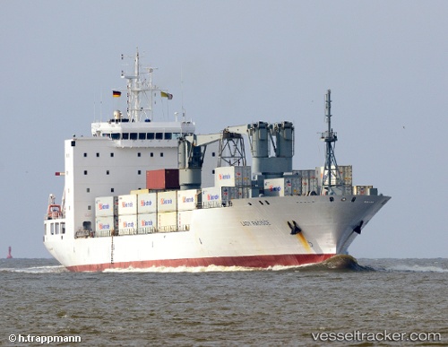
 BALTIC LORD
Current Status
Where is the vessel?
BALTIC LORD is currently in 15 nm S of Hettimulla, based on AIS data received less than 1h ago.
Latest AIS update:
Current position: 7.03017° N, 80.16018° W (15 nm S of Hettimulla)
Average speed (last 7 days): Loading…
Average speed (last 30 days): Loading…
Vessel profile: BALTIC LORD is a Refrigerated Cargo Ship with dimensions 155m x 24m.
This page combines live AIS, route history, probable destination signals, nearby traffic, and port activity for practical vessel monitoring.
The current position of vessel BALTIC LORD is 7.03017 lat / -80.16018 lng. Updated: 2026-04-22 11:54:19 UTCNearest reference points:
- 20 nm S of El Puerto
- 30 nm E of El Cirial (Isla Iguana)
- Near Saboga
Currently sailing under the flag of Bahamas ![]()
BALTIC LORD built in 2000 year
Deadweight:
12912 tDetails:
Live Vessel BALTIC LORD Analytics (details, animations, etc.)
Recent AIS points (UTC):
2026-04-22 08:13:15 UTC · 7.99154, -79.45761 · SOG 19 kn · COG 175°2026-04-22 09:34:58 UTC · 7.60333, -79.59667 · SOG 20 kn · COG -1°
2026-04-22 10:28:58 UTC · 7.38667, -79.81333 · SOG 20 kn · COG -1°
2026-04-22 11:54:19 UTC · 7.03017, -80.16018 · SOG 20.9 kn · COG 221°