 vesseltracker.com
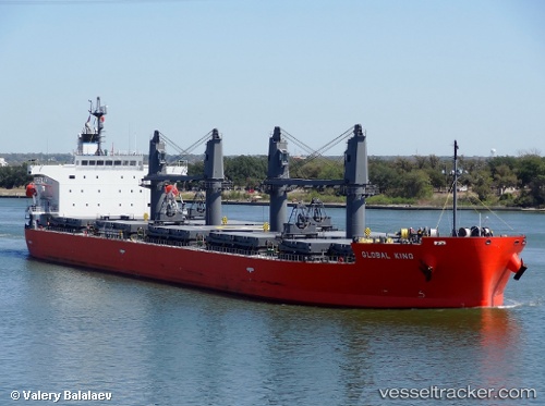
 BAY PEARL
Current Status
Where is the vessel?
BAY PEARL is currently in Near Puerto Cortes, based on AIS data received less than 1h ago.
Latest AIS update:
Current position: 15.84257° N, 87.95529° W (Near Puerto Cortes)
Average speed (last 7 days): Loading…
Average speed (last 30 days): Loading…
Vessel profile: BAY PEARL is a Bulk Carrier with dimensions 189m x 32m.
This page combines live AIS, route history, probable destination signals, nearby traffic, and port activity for practical vessel monitoring.
The current position of vessel BAY PEARL is 15.84257 lat / -87.95529 lng. Updated: 2026-04-01 05:52:16 UTCNearest reference points:
- 14 nm NW of Puerto Cortes
- 26 nm SE of Dangriga
- 12 nm SW of Dangriga
Currently sailing under the flag of Bahamas ![]()
BAY PEARL built in 2011 year
Deadweight:
51703 tDetails:
Live Vessel BAY PEARL Analytics (details, animations, etc.)
Recent AIS points (UTC):
2026-03-31 23:16:16 UTC · 15.84259, -87.95523 · SOG 0 kn · COG 277°2026-04-01 01:40:16 UTC · 15.84258, -87.95531 · SOG 0 kn · COG 277°
2026-04-01 02:49:16 UTC · 15.84264, -87.95533 · SOG 0 kn · COG 277°
2026-04-01 05:52:16 UTC · 15.84257, -87.95529 · SOG 0 kn · COG 277°