 vesseltracker.com
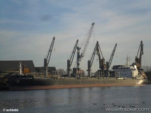
 AFRICAN LOGRUNNER
Current Status
Where is the vessel?
AFRICAN LOGRUNNER is currently in 310 nm SW of Primorsky Krai, based on AIS data received about 4h ago.
Latest AIS update:
Current position: 41.05167° N, 139.36667° W (310 nm SW of Primorsky Krai)
Average speed (last 7 days): Loading…
Average speed (last 30 days): Loading…
Vessel profile: AFRICAN LOGRUNNER is a Bulk Carrier with dimensions 180m x 180m.
This page combines live AIS, route history, probable destination signals, nearby traffic, and port activity for practical vessel monitoring.
The current position of vessel AFRICAN LOGRUNNER is 41.05167 lat / -139.36667 lng. Updated: 2026-04-05 04:46:28 UTCCurrently sailing under the flag of Bahamas ![]()
AFRICAN LOGRUNNER built in 2015 year
Deadweight:
40481 tDetails:
Live Vessel AFRICAN LOGRUNNER Analytics (details, animations, etc.)
Recent AIS points (UTC):
2026-04-04 23:38:10 UTC · 41.66985, -138.36545 · SOG 10.9 kn · COG 226°2026-04-05 01:13:58 UTC · 41.48204, -138.67148 · SOG 11.1 kn · COG 229°
2026-04-05 02:43:27 UTC · 41.30333, -138.96167 · SOG 11 kn · COG -1°
2026-04-05 04:46:28 UTC · 41.05167, -139.36667 · SOG 11 kn · COG -1°