 vesseltracker.com
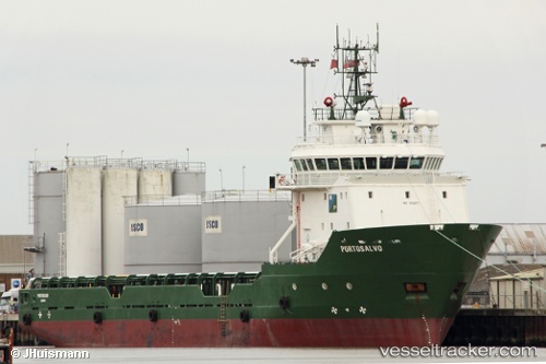
 ATLANTICA TRADER
Current Status
Where is the vessel?
ATLANTICA TRADER is currently in 12 nm W of Bentley FPSO, based on AIS data received about 1h ago.
Latest AIS update:
Current position: 59.92555° N, 1.29126° E (12 nm W of Bentley FPSO)
Average speed (last 7 days): Loading…
Average speed (last 30 days): Loading…
Vessel profile: ATLANTICA TRADER is a Offshore Supply Ship with dimensions m x m.
This page combines live AIS, route history, probable destination signals, nearby traffic, and port activity for practical vessel monitoring.
The current position of vessel ATLANTICA TRADER is 59.92555 lat / 1.29126 lng. Updated: 2026-04-13 22:42:28 UTCNearest reference points:
- 10 nm N of Leadon
- Near Alba Oil Field
Currently sailing under the flag of Bahamas ![]()
Details:
Live Vessel ATLANTICA TRADER Analytics (details, animations, etc.)
Recent AIS points (UTC):
2026-04-13 11:39:57 UTC · 60.16400, 0.69171 · SOG 7 kn · COG 134°2026-04-13 11:39:57 UTC · 60.16400, 0.69171 · SOG 7 kn · COG 134°
2026-04-13 11:39:57 UTC · 60.16400, 0.69171 · SOG 7 kn · COG 134°
2026-04-13 22:42:28 UTC · 59.92555, 1.29126 · SOG 0.2 kn · COG 149°