 vesseltracker.com
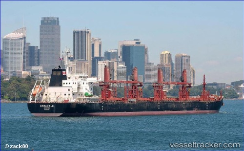
 AFRICAN LAPWING
Current Status
Where is the vessel?
AFRICAN LAPWING is currently in 58 nm SW of Masatepe, based on AIS data received about 2h ago.
Latest AIS update:
Current position: 11.18405° N, 88.13253° W (58 nm SW of Masatepe)
Average speed (last 7 days): Loading…
Average speed (last 30 days): Loading…
Vessel profile: AFRICAN LAPWING is a Cargo with dimensions m x m.
This page combines live AIS, route history, probable destination signals, nearby traffic, and port activity for practical vessel monitoring.
The current position of vessel AFRICAN LAPWING is 11.18405 lat / -88.13253 lng. Updated: 2026-04-21 13:09:09 UTCNearest reference points:
- Near El Salvador
- 27 nm W of Playa Conchal
- Near Golfo de Papagayo
Currently sailing under the flag of Bahamas ![]()
Details:
Live Vessel AFRICAN LAPWING Analytics (details, animations, etc.)
Recent AIS points (UTC):
2026-04-21 08:50:00 UTC · 11.30565, -88.14158 · SOG 3 kn · COG 129°2026-04-21 11:46:19 UTC · 11.20808, -88.12798 · SOG 1.2 kn · COG 119°
2026-04-21 13:09:09 UTC · 11.18405, -88.13253 · SOG 0.9 kn · COG 109°
2026-04-21 13:09:09 UTC · 11.18405, -88.13253 · SOG 0.9 kn · COG 109°