 vesseltracker.com
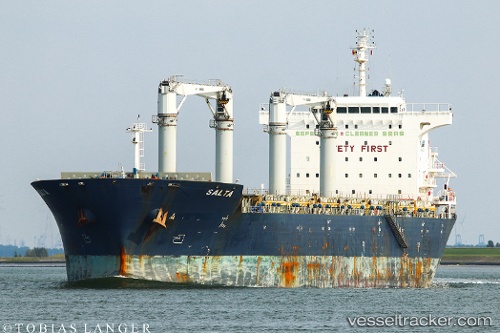
 BIRCH ARROW
Current Status
Where is the vessel?
BIRCH ARROW is currently in 15 nm N of Puerto Angamos, based on AIS data received less than 1h ago.
Latest AIS update:
Current position: 22.83935° S, 70.51737° W (15 nm N of Puerto Angamos)
Average speed (last 7 days): Loading…
Average speed (last 30 days): Loading…
Vessel profile: BIRCH ARROW is a General Cargo with dimensions m x m.
This page combines live AIS, route history, probable destination signals, nearby traffic, and port activity for practical vessel monitoring.
The current position of vessel BIRCH ARROW is -22.83935 lat / -70.51737 lng. Updated: 2026-04-22 05:49:32 UTCNearest reference points:
- 17 nm W of Puerto Angamos
Currently sailing under the flag of Bahamas ![]()
Details:
Live Vessel BIRCH ARROW Analytics (details, animations, etc.)
Recent AIS points (UTC):
2026-04-22 02:07:11 UTC · -22.89503, -70.54467 · SOG 1 kn · COG 300°2026-04-22 03:27:57 UTC · -22.87325, -70.53340 · SOG 0.3 kn · COG 302°
2026-04-22 04:32:12 UTC · -22.85713, -70.52528 · SOG 2.4 kn · COG 307°
2026-04-22 05:49:32 UTC · -22.83935, -70.51737 · SOG 1.2 kn · COG 301°