 vesseltracker.com
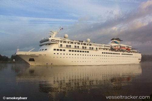
 VIDANTAWORLDSELEGANT
Current Status
Where is the vessel?
VIDANTAWORLDSELEGANT is currently in 28 nm W of Figuera Da Foz, based on AIS data received about 1h ago.
Latest AIS update:
Current position: 40.09453° N, 9.48702° W (28 nm W of Figuera Da Foz)
Average speed (last 7 days): Loading…
Average speed (last 30 days): Loading…
Vessel profile: VIDANTAWORLDSELEGANT is a Passengers Ship with dimensions m x m.
This page combines live AIS, route history, probable destination signals, nearby traffic, and port activity for practical vessel monitoring.
The current position of vessel VIDANTAWORLDSELEGANT is 40.09453 lat / -9.48702 lng. Updated: 2026-04-23 04:04:21 UTCNearest reference points:
- Near Figuera Da Foz
- Near Nazaré
- 52 nm W of Canas de Santa Maria
Currently sailing under the flag of Bahamas ![]()
Details:
Live Vessel VIDANTAWORLDSELEGANT Analytics (details, animations, etc.)
Recent AIS points (UTC):
2026-04-22 22:53:13 UTC · 39.00178, -9.84727 · SOG 12.8 kn · COG 0°2026-04-22 23:23:53 UTC · 39.11268, -9.84701 · SOG 13.4 kn · COG 359°
2026-04-23 01:03:36 UTC · 39.48134, -9.84695 · SOG 13 kn · COG 0°
2026-04-23 04:04:21 UTC · 40.09453, -9.48702 · SOG 13.5 kn · COG 32°