 vesseltracker.com
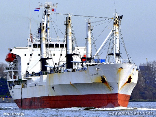
 FRIO CHIKUMA
Current Status
Where is the vessel?
FRIO CHIKUMA is currently in 97 nm S of Las Brujas, based on AIS data received less than 1h ago.
Latest AIS update:
Current position: 22.04793° N, 18.71825° W (97 nm S of Las Brujas)
Average speed (last 7 days): Loading…
Average speed (last 30 days): Loading…
Vessel profile: FRIO CHIKUMA is a Reefer with dimensions m x m.
This page combines live AIS, route history, probable destination signals, nearby traffic, and port activity for practical vessel monitoring.
The current position of vessel FRIO CHIKUMA is 22.04793 lat / -18.71825 lng. Updated: 2026-04-21 21:23:45 UTCNearest reference points:
- 41 nm NW of Nouadhibou
- Near Nouadhibou
- 68 nm NW of Ad Dakhla
Currently sailing under the flag of Bahamas ![]()
Details:
Live Vessel FRIO CHIKUMA Analytics (details, animations, etc.)
Recent AIS points (UTC):
2026-04-21 17:19:05 UTC · 21.46530, -19.08258 · SOG 10 kn · COG 29°2026-04-21 18:59:05 UTC · 21.70642, -18.93362 · SOG 9.9 kn · COG 32°
2026-04-21 19:23:07 UTC · 21.76225, -18.89672 · SOG 9.7 kn · COG 32°
2026-04-21 21:23:45 UTC · 22.04793, -18.71825 · SOG 9.8 kn · COG 31°