 vesseltracker.com
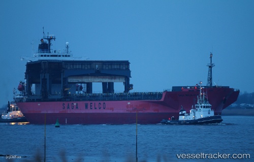
 SAGA BEIJA FLOR
Current Status
Where is the vessel?
SAGA BEIJA FLOR is currently in 244 nm S of Southampton, based on AIS data received about 1h ago.
Latest AIS update:
Current position: 28.36945° N, 63.46402° W (244 nm S of Southampton)
Average speed (last 7 days): Loading…
Average speed (last 30 days): Loading…
Vessel profile: SAGA BEIJA FLOR is a General Cargo with dimensions m x m.
This page combines live AIS, route history, probable destination signals, nearby traffic, and port activity for practical vessel monitoring.
The current position of vessel SAGA BEIJA FLOR is 28.36945 lat / -63.46402 lng. Updated: 2026-04-21 12:21:11 UTCNearest reference points:
- 328 nm W of Villa Elisa
Currently sailing under the flag of Bahamas ![]()
Details:
Live Vessel SAGA BEIJA FLOR Analytics (details, animations, etc.)
Recent AIS points (UTC):
2026-04-21 07:53:03 UTC · 27.97066, -64.34373 · SOG 11.4 kn · COG 58°2026-04-21 09:33:00 UTC · 28.15648, -64.03879 · SOG 12 kn · COG 57°
2026-04-21 10:20:13 UTC · 28.24565, -63.89188 · SOG 12 kn · COG 57°
2026-04-21 12:21:11 UTC · 28.36945, -63.46402 · SOG 12.2 kn · COG 77°