 vesseltracker.com
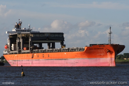
 SAGA ENTERPRISE
Current Status
Where is the vessel?
SAGA ENTERPRISE is currently in 71 nm NW of Nedroma, based on AIS data received about 1h ago.
Latest AIS update:
Current position: 35.62349° N, 15.88800° W (71 nm NW of Nedroma)
Average speed (last 7 days): Loading…
Average speed (last 30 days): Loading…
Vessel profile: SAGA ENTERPRISE is a General Cargo with dimensions m x m.
This page combines live AIS, route history, probable destination signals, nearby traffic, and port activity for practical vessel monitoring.
The current position of vessel SAGA ENTERPRISE is 35.62349 lat / -15.88800 lng. Updated: 2026-04-21 23:55:09 UTCNearest reference points:
- 78 nm W of Nedroma
- 75 nm NE of Nedroma
- 74 nm E of Alozaina
Currently sailing under the flag of Bahamas ![]()
Details:
Live Vessel SAGA ENTERPRISE Analytics (details, animations, etc.)
Recent AIS points (UTC):
2026-04-21 19:18:17 UTC · 35.95141, -15.03117 · SOG 10.6 kn · COG 235°2026-04-21 21:06:46 UTC · 35.80280, -15.35751 · SOG 9.5 kn · COG 248°
2026-04-21 22:35:28 UTC · 35.70809, -15.63621 · SOG 9.8 kn · COG 251°
2026-04-21 23:55:09 UTC · 35.62349, -15.88800 · SOG 9.9 kn · COG 250°