 vesseltracker.com
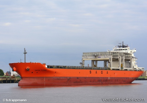
 SAGA FJORD
Current Status
Where is the vessel?
SAGA FJORD is currently in Open sea (no nearby ports in database), based on AIS data received about 14h ago.
Latest AIS update:
Current position: 42.35271° S, 5.24985° E (Open sea (no nearby ports in database))
Average speed (last 7 days): Loading…
Average speed (last 30 days): Loading…
Vessel profile: SAGA FJORD is a Cargo/Container Ship with dimensions m x m.
This page combines live AIS, route history, probable destination signals, nearby traffic, and port activity for practical vessel monitoring.
The current position of vessel SAGA FJORD is -42.35271 lat / 5.24985 lng. Updated: 2026-04-10 07:01:55 UTCNearest reference points:
- Open sea (no nearby ports in database)
- Open sea, approx. 540 nm off the nearest listed port
- Open sea, approx. 471 nm off the nearest listed port
Currently sailing under the flag of Bahamas ![]()
Details:
Live Vessel SAGA FJORD Analytics (details, animations, etc.)
Recent AIS points (UTC):
2026-04-10 02:25:24 UTC · -42.42943, 4.15590 · SOG 10.7 kn · COG 84°2026-04-10 03:48:24 UTC · -42.40513, 4.48830 · SOG 10.7 kn · COG 87°
2026-04-10 05:50:33 UTC · -42.37467, 4.96706 · SOG 10.5 kn · COG 84°
2026-04-10 07:01:55 UTC · -42.35271, 5.24985 · SOG 10.6 kn · COG 83°